The Confederación Hidrográfica del Ebro has published the StoryMap “Ebro, a Century of Cartographic Perspective”, an interactive tool developed alongside Esri España using ArcGIS technology. It integrates maps, images, videos, figures, tables, and text to narrate how cartography has accompanied the institution since its inception. This is a special contribution to the Centenary, promoted by the Hydrological Planning Office as part of the maintenance and update of the Geographic Information Systems (GIS) of the Confederation.
A StoryMap is a communication format that combines interactive maps, images, text, and video into a visual narrative; in this case, titled “Ebro, a Century of Cartographic Perspective,” it shows how the discipline of cartography has been linked to the technical activity of the Confederation since its beginnings, adapting to the media of each era.
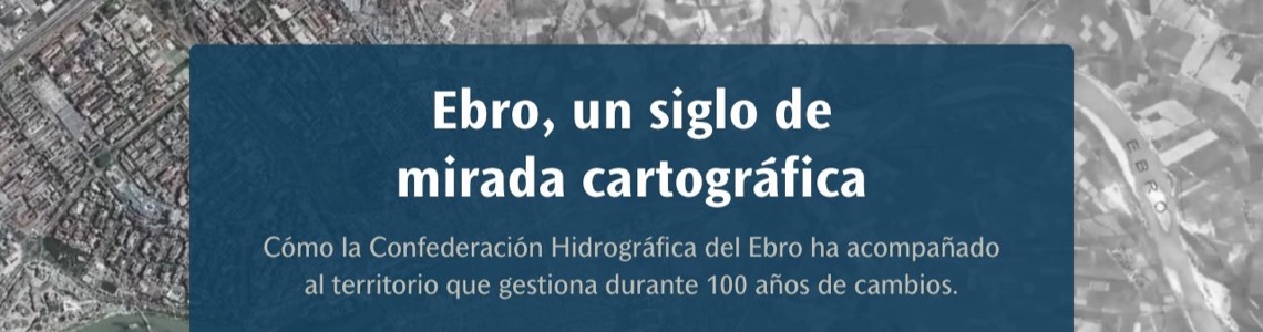
A visual journey through the Ebro lands
The StoryMap offers a highly visual cartographic journey across the basin throughout this century: from the first maps and historic photogrammetric flights—such as the 1927 flight or the stereophotogrammetric flight of the Cinca (1928-1929)—to current technologies, such as land surveys using LiDAR technology, the use of drones, or the generation of bathymetry to understand the beds of our main watercourses. The narrative also highlights the archival and documentary heritage that the Confederation maintains under continuous cataloging work, and is accompanied by numerous links designed for those who wish to “learn more.”
From historical cartography to modern tools
The project fits perfectly with the focus of the Centenary because it explains, in a very visual way, how the way of observing, measuring, and representing the Ebro basin has changed: from historical cartography and the first photogrammetric flights to current tools such as LiDAR, bathymetry, or geographic information systems. It is, in short, a transversal vision of the territory that connects the technical past of the institution with the consultation, analysis, and management tools used by the Confederation today.
A bridge to the Vitoria-Gasteiz exhibition
This StoryMap also serves as a bridge to the Centenary’s traveling exhibition, which opens on Friday, June 12, at the Ataria Interpretation Center in Vitoria-Gasteiz, starting at 7:00 PM. The SITEbro viewer is featured in one of the display cases of the exhibition, and this cartographic journey helps precisely to connect that historical cartographic dimension with current tools for territorial consultation and management. The exhibition can be visited at Ataria (Paseo de la Biosfera, 4, Vitoria-Gasteiz) from June 12 to July 12, Tuesday to Sunday, from 11:00 AM to 2:00 PM and from 4:00 PM to 8:00 PM, and the Centenary Encounters cycle in Vitoria-Gasteiz will take place on June 18.
A hundred-year perspective
In the year of the Centenary, this StoryMap adds another milestone to the Confederation’s story: a hundred-year perspective that proves that observing, measuring, and mapping the Ebro has been, and remains, a way of understanding and caring for it. An invitation to explore the basin through different eyes—those of cartography—and to learn more about the territory that forms the backbone of nearly 20% of Spain.