


The Spatial Data Infrastructure of Spain (IDEE), focuses on the Ebro River Basin Authority as a pioneering institution in water management by basins. IDEE thus joins the centennial from a geographical and informative perspective.


1926 – 2026
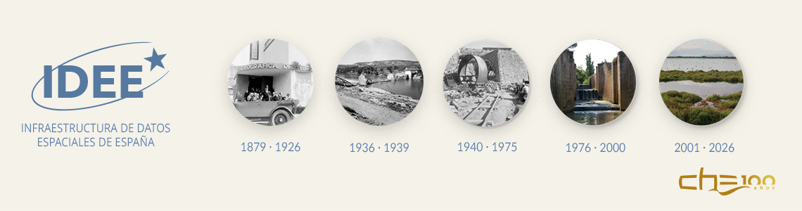
The Spatial Data Infrastructure of Spain (IDEE), focuses on the Ebro River Basin Authority as a pioneering institution in water management by basins. IDEE thus joins the centennial from a geographical and informative perspective.
19/01/2026
In its blog, IDEE highlights the centennial of the CHE as an early example of how territory, cartography, and data have been essential in the public management of water since 1926. The publication positions the CHE as a pioneering organization in applying the hydrographic basin as a planning unit, an approach that remains valid in current management models.
The article underscores the historical relationship between the CHE and the National Geographic Institute (IGN), a technical collaboration that dates back to the 1926-1927 agreements for the use of planimetry at a scale of 1:25,000, the basis of the historical photogrammetric flight of 1926-1927 (flight of ’27). This cooperation has been maintained over time and has made it possible to generate and preserve key geographical information for the Ebro basin.
IDEE also highlights more recent milestones in this relationship, such as the co-production of the relief map of the Ebro basin in 2019 or the General Protocol of Action of 2024 between the CHE and the National Center for Geographic Information, which has facilitated public access to historical cartography through the IGN Download Center.
From this perspective, the publication links one hundred years of collaboration between CHE, IGN, and IDEE with the current challenges of territorial management, emphasizing the role of geographic data, public cartography, and institutional cooperation as the basis for shared and sustainable water management.
About IDEE
IDEE is an initiative of the National Geographic Institute (IGN) dedicated to the dissemination and reuse of geographic and territorial information. Through open data, cartography, and informative content, IDEE promotes knowledge of the territory and supports public decision-making based on quality geographic information.
This information is taken from a publication of the blog of the Spatial Data Infrastructure of Spain (IDEE), dated January 16, 2026.